

About the project
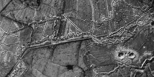
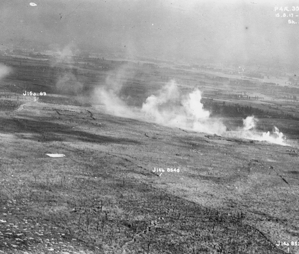
This project came about thanks to a collaboration between the Province of West Flanders, In Flanders Fields Museum, Imperial War Museums, War Heritage Institute and the Department of Archaeology at Ghent University. Thanks to these three archives and two partners who were responsible for processing the material, it is possible to offer this geoportal for the northernmost sixty kilometers of the Western Front 1914-1918.
